Fence Disputes: How a Boundary Line Survey Ends Arguments

Few things turn neighbors into enemies faster than a fence dispute. One day, you are fixing a leaning panel. The next day, you are arguing about whose land it sits on. In Fort Worth, this situation happens more often than people expect. Homes change hands, fences age, and memories fade. When opinions clash, facts matter. […]
Why LiDAR Mapping Matters More During Wildfires

Texas wildfires are no longer rare events. Each year, they grow faster, burn hotter, and spread farther. When fires break out, most people focus on flames, smoke, and evacuations. However, behind every major wildfire response is something far less visible: maps. More specifically, LiDAR mapping. While news coverage shows helicopters and fire lines, emergency teams […]
Why Lenders Now Ask for an Elevation Certificate
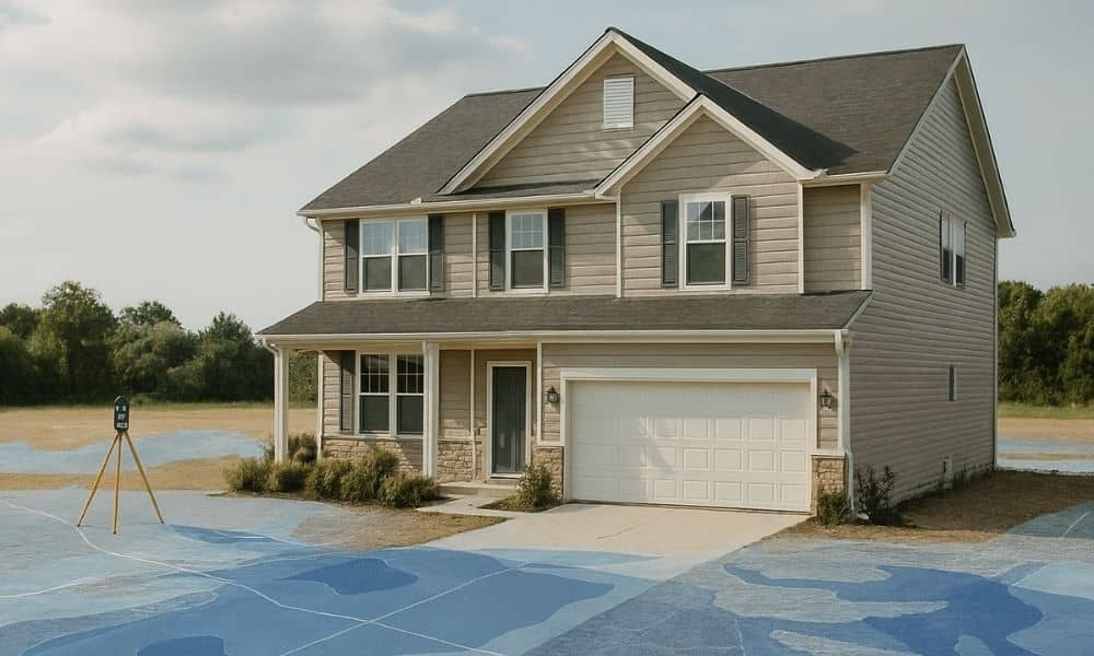
If you’re buying, refinancing, or developing property, you may have noticed something new. Lenders now ask for an elevation certificate more often than before. Even deals that look simple can stall until that document shows up. This shift didn’t happen by accident. Instead, it grew from recent local events, rising flood risk concerns, and costly […]