LiDAR Mapping Shows Drainage Problems Before You Build
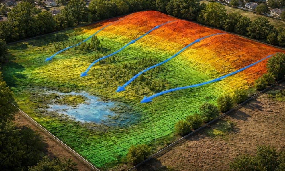
You walk a piece of land and it looks fine. The ground feels solid. Nothing really stands out, so you assume drainage won’t be an issue once you build. Then the rain comes. Water starts sitting in places you didn’t notice before. Some parts of the lot stay wet longer than they should. Now you’re […]