Foundation Engineering Risks Behind Excavation Failures
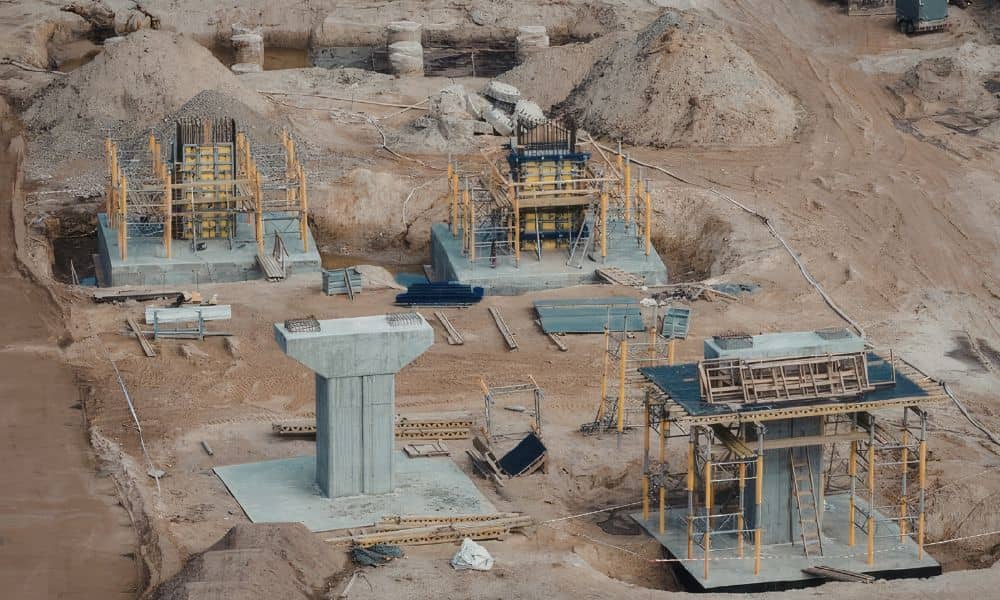
Construction work often starts below the ground. Workers dig trenches, move soil, and prepare the base for a building. However, recent excavation accidents show how risky this stage can be. In some cases, trench walls collapsed and trapped workers before the building work even began. These events remind us of an important truth. Strong buildings […]
How to Set Control for Construction Staking
On almost every job site, the same thing happens. The survey crew finishes the layout. Stakes look clean. Control points sit in place. Everyone feels good. Then grading starts. Dozers move dirt. Trucks cut across the site. Utility crews trench through corners. And suddenly, those carefully set points disappear. Now the superintendent calls: “We need […]
Why Bollards Matter — A Traffic Engineer Explains

If you have visited the Fort Worth Stockyards lately, you may have seen the new bollards along the street. At first glance, they look simple. Just strong metal posts placed in a line. However, as a traffic engineer, I see something much bigger. These bollards are not decoration. They are not random barriers. Instead, they […]