LiDAR Mapping Shows Drainage Problems Before You Build
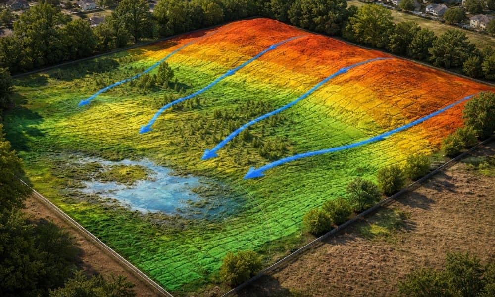
You walk a piece of land and it looks fine. The ground feels solid. Nothing really stands out, so you assume drainage won’t be an issue once you build. Then the rain comes. Water starts sitting in places you didn’t notice before. Some parts of the lot stay wet longer than they should. Now you’re […]
Why a Plat of Survey Helps Avoid Permit Delays
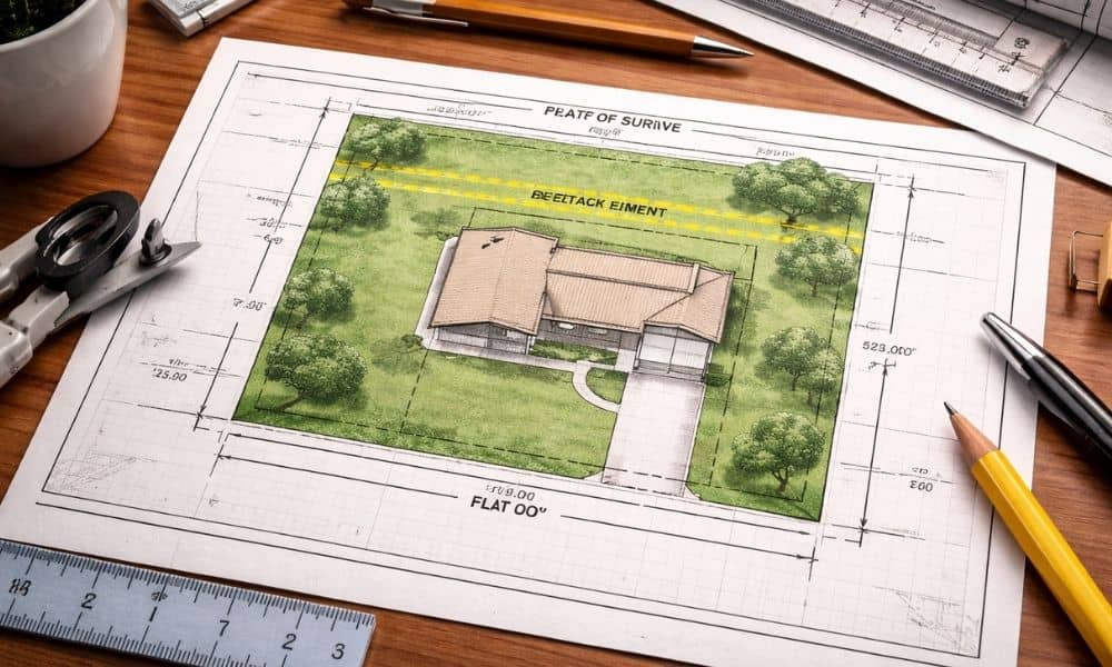
You submit your plans, feel confident, and expect things to move forward. Then the city sends a message asking for more information. Suddenly, your permit sits in review longer than expected. At that point, many property owners feel confused. You already hired someone. You already have documents. So why is the process slowing down? In […]
When Does Land Development Need a Drainage Study?
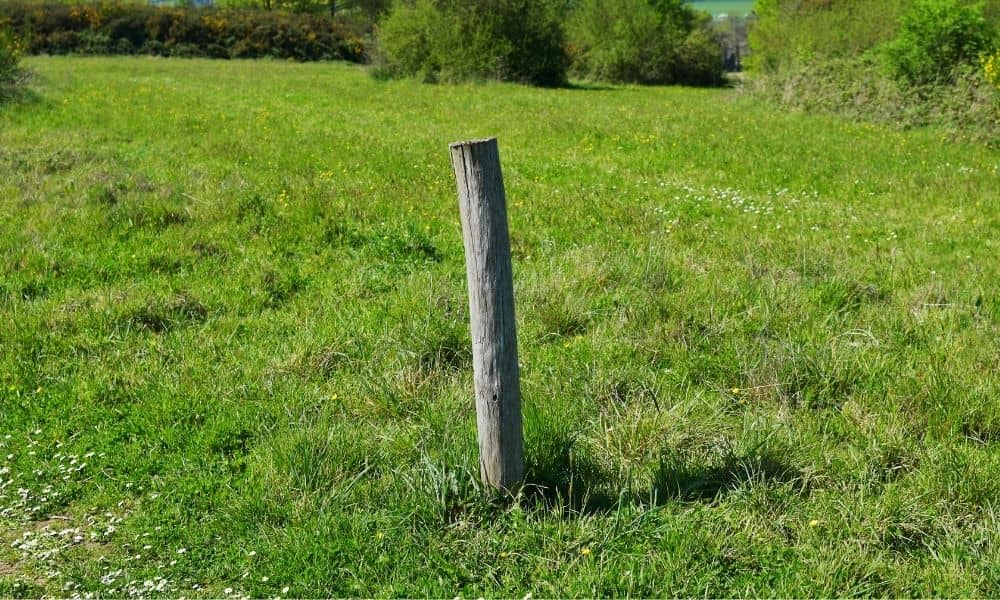
You finally have your land. You’ve mapped out your idea, maybe even talked to a builder, and everything feels ready to go. Then the city reviews your plans—and suddenly, everything slows down. You’re told a drainage study is required. At first, it feels like an extra step you didn’t expect. However, this comes up more […]